Online mapping tools

Choose a tool. Start making maps.

Export high-resolution maps, generate contours, convert coordinates or plan routes. Explore the workflow, then open ZZMap to create and export your map.

Start making a map

Choose by task

Find your mapping tool

Each guide explains use cases, steps, output formats and limitations.

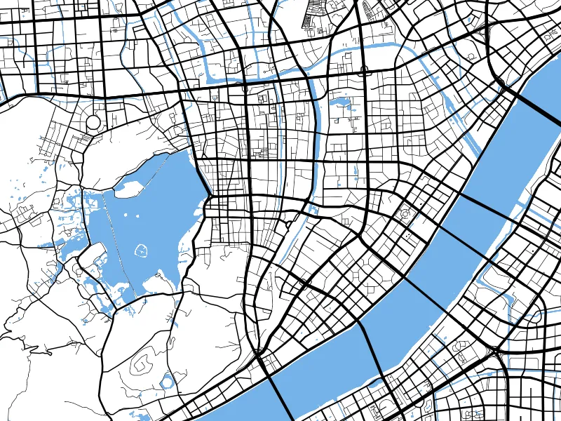
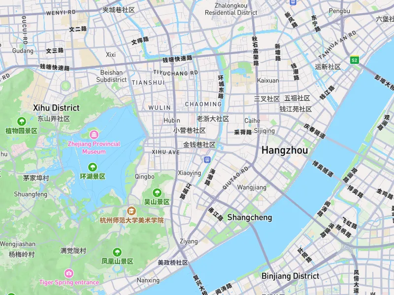
ZZMap outdoor map style with an example PNG export areaMap images

Export High-Resolution Map PNG Online

Set bounds, dimensions, aspect ratio and resolution to export an area as a high-resolution PNG. Create maps for reports, posters, presentation boards and large-format layouts.

PNG map imagesCustom boundsDimensions and ratios
View tool details
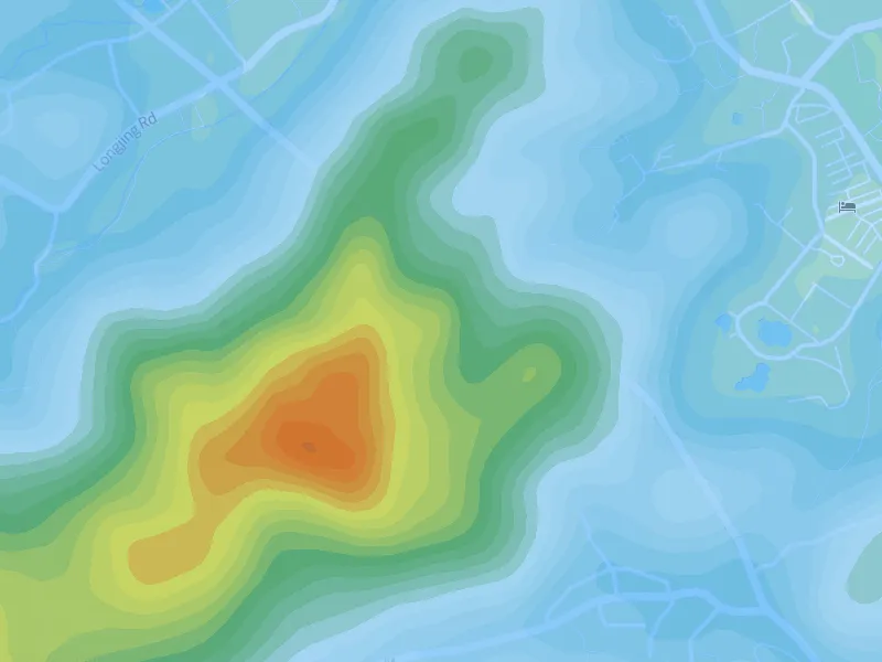

Example ZZMap contour lines with hypsometric colorsTerrain visualization

Online Contour Map Maker

Generate contours within your map bounds. Adjust intervals, lines, colors and elevation labels, or add hypsometric colors. Export PNG, DXF, GeoJSON or SVG when ready.

Contour generationIntervals and line stylesElevation labels
View tool details
ZZMap contour map with an example DXF exportGIS / CAD

Generate Contours and Export DXF Online

Generate contours within map bounds and export DXF in WGS84 or Web Mercator for CAD processing. Output contains contour features only, without roads, place names or basemap content.

DXFWGS84EPSG:3857
View tool details
ZZMap showing WGS84, GCJ02 and BD09 coordinate conversionCoordinate tools

WGS84, GCJ02 and BD09 Coordinate Converter

Enter longitude and latitude, convert between WGS84, GCJ02 and BD09, and locate the result on a map. Compare points across mapping platforms and investigate coordinate offsets.

WGS84GCJ02BD09
View tool details
ZZMap route planning on a white road-network basemapRoute maps

Online Route Planner and Route Map Maker

Add a start, destination and waypoints, then choose driving, walking or cycling to generate a route. Style the route and export PNG, GeoJSON or SVG.

DrivingWalkingCycling
View tool details