
All tools
GIS / CAD

Generate Contours and Export DXF Online

Generate contours within map bounds and export DXF in WGS84 or Web Mercator for CAD processing. Output contains contour features only, without roads, place names or basemap content.

DXFWGS84EPSG:3857Sample outputs
ZZMap contour map with an example DXF export
Contour dataDXF
The sample download includes contour DXF in WGS84 and Web Mercator coordinates for compatibility checks.

Overview

What you can do

  • In the export panel, choose GIS data, then Contours to prepare a DXF export.
  • DXF, GeoJSON and SVG use the same contour source. Choose the format that suits your downstream software.
  • Output supports WGS84 longitude/latitude and EPSG:3857 Web Mercator coordinates.
  • Optionally include elevation properties and 3D Z coordinates. Check the downloaded file for actual fields and geometry.

How it works

Get started in three steps

  1. 01

    Set the bounds

    Locate your area, open Export map and switch to GIS data.

  2. 02

    Select contours

    Set the source to Contours, choose a coordinate system for your target software and decide whether to include elevation.

  3. 03

    Download DXF

    Export DXF, then check units, coordinates and layer structure in your CAD software.

Before you begin

Device performance, data sources and target software can affect results. Check your output before use.

  • DXF contains generated contour features only. It does not automatically vectorize an entire commercial basemap.
  • CAD applications may interpret coordinates, units and DXF entities differently. Check sample files in your target software before production use.
  • Online terrain data is not engineering survey data and must not be used directly for construction, setting out or certified surveying.

FAQ

Frequently asked questions

Does the DXF contain the whole map?

No. It contains recalculated contour features, without the complete Mapbox basemap, roads, place names or imagery.

Should I choose WGS84 or Web Mercator?

Follow your downstream software and project requirements. WGS84 uses longitude and latitude; EPSG:3857 uses Web Mercator coordinates in meters. Check the samples first.

Can I preview sample outputs?

Yes. The sample package includes contour DXF in both coordinate systems, plus corresponding GeoJSON and SVG files.

Use together

View all tools
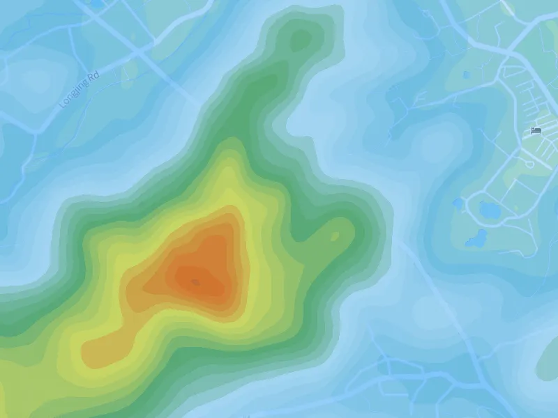
Example ZZMap contour lines with hypsometric colorsTerrain visualization

Online Contour Map Maker

Generate contours within your map bounds. Adjust intervals, lines, colors and elevation labels, or add hypsometric colors. Export PNG, DXF, GeoJSON or SVG when ready.

Contour generationIntervals and line stylesElevation labels
View tool details
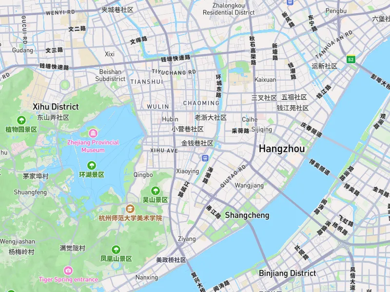
ZZMap outdoor map style with an example PNG export areaMap images

Export High-Resolution Map PNG Online

Set bounds, dimensions, aspect ratio and resolution to export an area as a high-resolution PNG. Create maps for reports, posters, presentation boards and large-format layouts.

PNG map imagesCustom boundsDimensions and ratios
View tool details