All tools
Map images

Export High-Resolution Map PNG Online

Set bounds, dimensions, aspect ratio and resolution to export an area as a high-resolution PNG. Create maps for reports, posters, presentation boards and large-format layouts.

PNG map imagesCustom boundsDimensions and ratiosHigh-resolution export
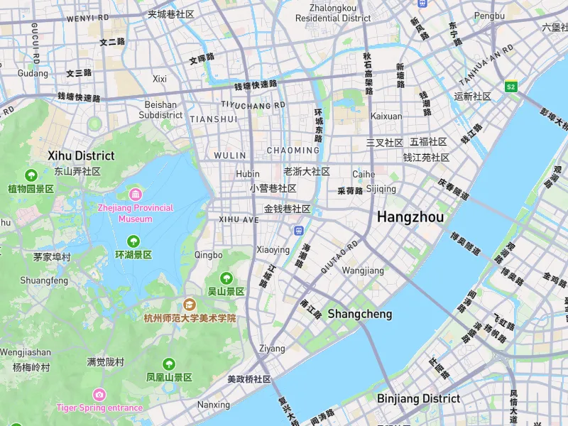
ZZMap outdoor map style with an example PNG export area
PNG · 2×
Example map style and export bounds. Your PNG uses the styles, layers, bounds and settings you choose.

Overview

What you can do

  • Start from the current viewport, then adjust bounds, dimensions and common aspect ratios.
  • Control resolution scale and map labels, or hide the basemap to keep overlays only.
  • Clip to an administrative boundary or uploaded polygon. Select a boundary or upload a valid polygon first.
  • For very large exports, the tool selects a method based on device capabilities. If resources are insufficient, it asks you to reduce dimensions or resolution.

How it works

Get started in three steps

  1. 01

    Prepare your map

    Choose a basemap, camera view and layers so the workspace shows the composition you want.

  2. 02

    Set the output size

    Open Export map and adjust bounds, dimensions, aspect ratio, resolution and labels.

  3. 03

    Sign in and export

    Check the preview bounds and export PNG. Export requires sign-in and uses the credit rules shown in the interface.

Before you begin

Device performance, data sources and target software can affect results. Check your output before use.

  • Output size depends on browser memory, GPU, WebGL and map data loading. If resources are insufficient, reduce the size or resolution and try again.
  • Respect the copyright, licensing and attribution requirements of the map data you use.
  • Before downloading, check bounds, labels, layers and aspect ratio against your intended composition.

FAQ

Frequently asked questions

Can I export a map larger than my screen?

You can set output dimensions and resolution independently of your screen. Very large exports still depend on your device, browser and map data loading.

Can I export only one administrative region?

Select an administrative boundary or upload a valid polygon, then enable clipping. If no boundary is available, the workspace asks you to prepare one first.

Does export hide place names automatically?

Choose how labels appear in the export panel. Check the preview before downloading.

Use together

View all tools
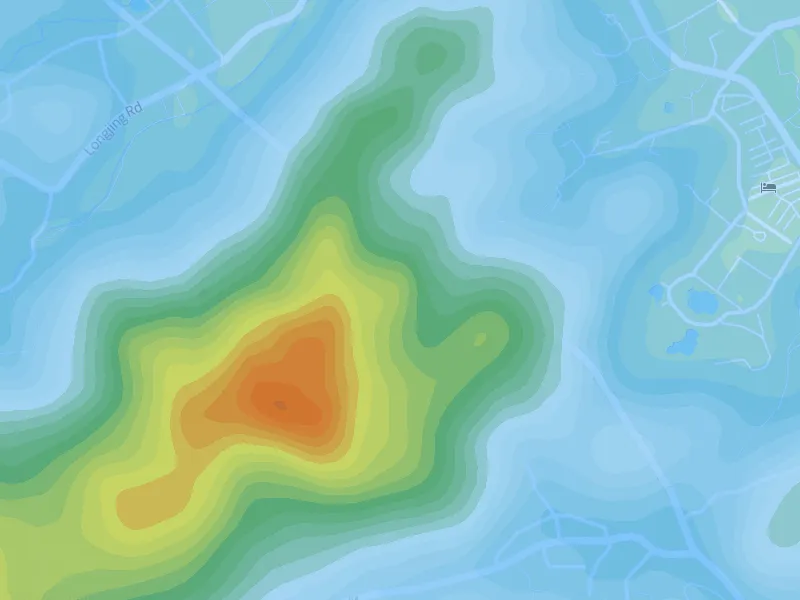
Example ZZMap contour lines with hypsometric colorsTerrain visualization

Online Contour Map Maker

Generate contours within your map bounds. Adjust intervals, lines, colors and elevation labels, or add hypsometric colors. Export PNG, DXF, GeoJSON or SVG when ready.

Contour generationIntervals and line stylesElevation labels
View tool details
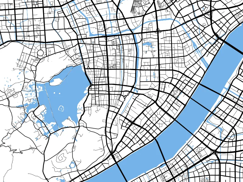
ZZMap route planning on a white road-network basemapRoute maps

Online Route Planner and Route Map Maker

Add a start, destination and waypoints, then choose driving, walking or cycling to generate a route. Style the route and export PNG, GeoJSON or SVG.

DrivingWalkingCycling
View tool details