All tools
Route maps

Online Route Planner and Route Map Maker

Add a start, destination and waypoints, then choose driving, walking or cycling to generate a route. Style the route and export PNG, GeoJSON or SVG.

DrivingWalkingCyclingRoute export
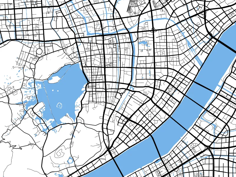
ZZMap route planning on a white road-network basemap
Example route on a white road-network basemap. The route changes with waypoints, travel mode and road data.

Overview

What you can do

  • Click the map or search to add a start, destination and waypoints, then request a route for your travel mode.
  • After generation, adjust the route appearance, map style and composition.
  • Include routes in PNG images, or export the route data as GeoJSON or SVG.
  • Long routes with many points are processed in sections and merged. This tool is for map creation and does not provide offline navigation.

How it works

Get started in three steps

  1. 01

    Add waypoints

    Open the route planner and set the start, destination and intermediate stops in order.

  2. 02

    Choose a travel mode

    Select driving, walking or cycling, generate the route and check its course.

  3. 03

    Style and export

    Choose your basemap and route style, then open PNG or GIS data export.

Before you begin

Device performance, data sources and target software can affect results. Check your output before use.

  • Routes depend on online mapping services and current road data. Coverage, connectivity, traffic rules and service limits can affect results.
  • Routes are for map creation and general reference. They do not replace live navigation, safety decisions or traffic authority information.
  • Exported route files contain route data only. Respect the separate licensing requirements for basemaps and route data.

FAQ

Frequently asked questions

Which travel modes are supported?

The route planner supports driving with traffic or standard routing, walking and cycling. See the route panel for available options.

Which export formats support routes?

Use a route in a PNG map, or export route data as GeoJSON or SVG. Check samples in your target software before production use.

Can this replace live navigation?

No. This tool is for route planning and map creation. It does not provide full live navigation, road safety alerts or traffic restriction information.

Use together

View all tools
ZZMap outdoor map style with an example PNG export areaMap images

Export High-Resolution Map PNG Online

Set bounds, dimensions, aspect ratio and resolution to export an area as a high-resolution PNG. Create maps for reports, posters, presentation boards and large-format layouts.

PNG map imagesCustom boundsDimensions and ratios
View tool details

ZZMap showing WGS84, GCJ02 and BD09 coordinate conversionCoordinate tools

WGS84, GCJ02 and BD09 Coordinate Converter

Enter longitude and latitude, convert between WGS84, GCJ02 and BD09, and locate the result on a map. Compare points across mapping platforms and investigate coordinate offsets.

WGS84GCJ02BD09
View tool details