
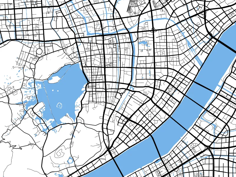
 Route maps
Online Route Planner and Route Map Maker
Add a start, destination and waypoints, then choose driving, walking or cycling to generate a route. Style the route and export PNG, GeoJSON or SVG.
DrivingWalkingCycling
View tool detailsEnter longitude and latitude, convert between WGS84, GCJ02 and BD09, and locate the result on a map. Compare points across mapping platforms and investigate coordinate offsets.

Overview
How it works
Check whether the original coordinates come from GPS, a Chinese web map or Baidu Maps before selecting the input system.
Enter longitude and latitude as labeled and select the target coordinate system.
Read the result and check the map position. Cross-check important uses against authoritative data.
Device performance, data sources and target software can affect results. Check your output before use.
FAQ
WGS84 is common in GPS and international datasets. GCJ02 is common in mainland Chinese web maps. BD09 is used by Baidu Maps.
Conversion does not correct measurement errors, an incorrect source system, reversed longitude and latitude or poor source data quality.
This is not recommended. Engineering projects require specified parameters, authoritative software and professional review.
Use together
Route mapsAdd a start, destination and waypoints, then choose driving, walking or cycling to generate a route. Style the route and export PNG, GeoJSON or SVG.
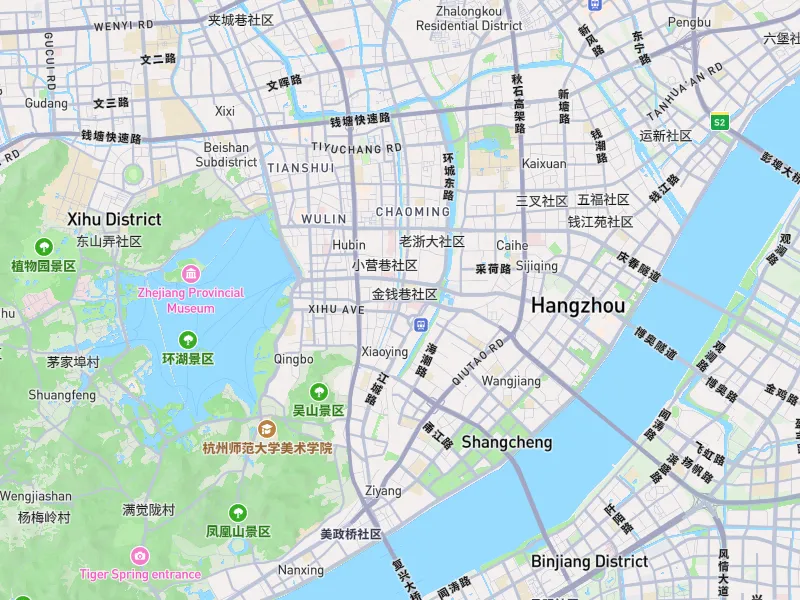 Map images
Set bounds, dimensions, aspect ratio and resolution to export an area as a high-resolution PNG. Create maps for reports, posters, presentation boards and large-format layouts.