GIS / CADGenerate Contours and Export DXF Online
Generate contours within map bounds and export DXF in WGS84 or Web Mercator for CAD processing. Output contains contour features only, without roads, place names or basemap content.
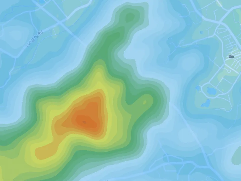
Generate contours within your map bounds. Adjust intervals, lines, colors and elevation labels, or add hypsometric colors. Export PNG, DXF, GeoJSON or SVG when ready.

Overview
How it works
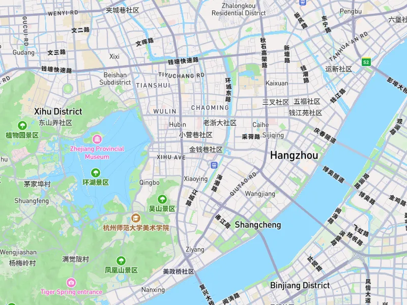
Pan and zoom to the target area. Larger areas generally require more terrain data and computation.
Open the contour tool and choose intervals, lines, labels and terrain styling.
Inspect terrain details after generation, then export a PNG or continue to GIS data export.
Device performance, data sources and target software can affect results. Check your output before use.
FAQ
The tool uses map bounds, terrain data and your contour interval to generate vector contours. Add hypsometric colors to show elevation bands.
Yes. The workspace provides contour interval, line width, color and label controls. Available settings are shown in the panel.
Yes. Select contours as the GIS data source and choose DXF. See the contour DXF guide for the CAD workflow.
Use together
GIS / CADGenerate contours within map bounds and export DXF in WGS84 or Web Mercator for CAD processing. Output contains contour features only, without roads, place names or basemap content.
Map imagesSet bounds, dimensions, aspect ratio and resolution to export an area as a high-resolution PNG. Create maps for reports, posters, presentation boards and large-format layouts.